Vietnam Soil Atlas
The Vietnam Soil Atlas is a publicly accessible platform that documents soil types, ecological conditions, cultural and vernacular material knowledge across seven ecological zones in Vietnam. Developed through fieldwork, material testing, and collaboration with local artisans and experts, it connects technical data with cultural and ecological narratives to support regenerative earthen construction and culturally grounded design practices in Vietnam.
Go to full Map
What you see here is a preview of the interactive map. The full experience, including all layer filters, opacity controls, and site navigation, is available on the dedicated map page.
The Project
1.1
Framing:
Dual Archive,
Situated Regionalism
The Vietnam Soil Atlas is not only a material database but also a platform for understanding soils as carriers of ecological, technical, and cultural knowledge. It documents the relationship between local material resources, regional environments, and vernacular practices, while making this knowledge accessible for future design, construction, and research.
In this sense, the atlas functions as both a technical tool and a cultural archive, supporting what the project describes as a "dual archive" model that links tactile material properties with intangible narratives and ecological context.
In this sense, the atlas functions as both a technical tool and a cultural archive, supporting what the project describes as a "dual archive" model that links tactile material properties with intangible narratives and ecological context.
1.2
Context:
Geographical &
Ecological Context
Vietnam's diverse geology and range of ecological zones make it a unique context for site-responsive earthen construction. The project spans seven ecological zones, from upland forests to coastal wetlands, recognizing that each region has distinct soils, environmental conditions, and building traditions. At the same time, these material systems have been shaped and threatened by the legacy of colonial infrastructure, chemical contamination from war, and rapid industrialization.
The Soil Atlas responds to this context by mapping soils alongside ecological, cultural, and political realities.
The Soil Atlas responds to this context by mapping soils alongside ecological, cultural, and political realities.
1.3
Methodology:
Three Layers Explained
The project uses a hybrid methodology combining:
- Field research across ecological zones in Vietnam
- Documentation of vernacular techniques, rituals, and ecological practices
- Soil sampling and collection of bio-based additives
- Field and laboratory testing of compressed earth blocks
- Prototyping and mold development
- Interviews and ethnographic documentation
- Digital archiving and public dissemination through the Vietnam Soil Atlas
Its approach integrates physical prototyping, vernacular techniques rooted in indigenous knowledge, ecological sensitivity, and transdisciplinary design strategies.
Sites
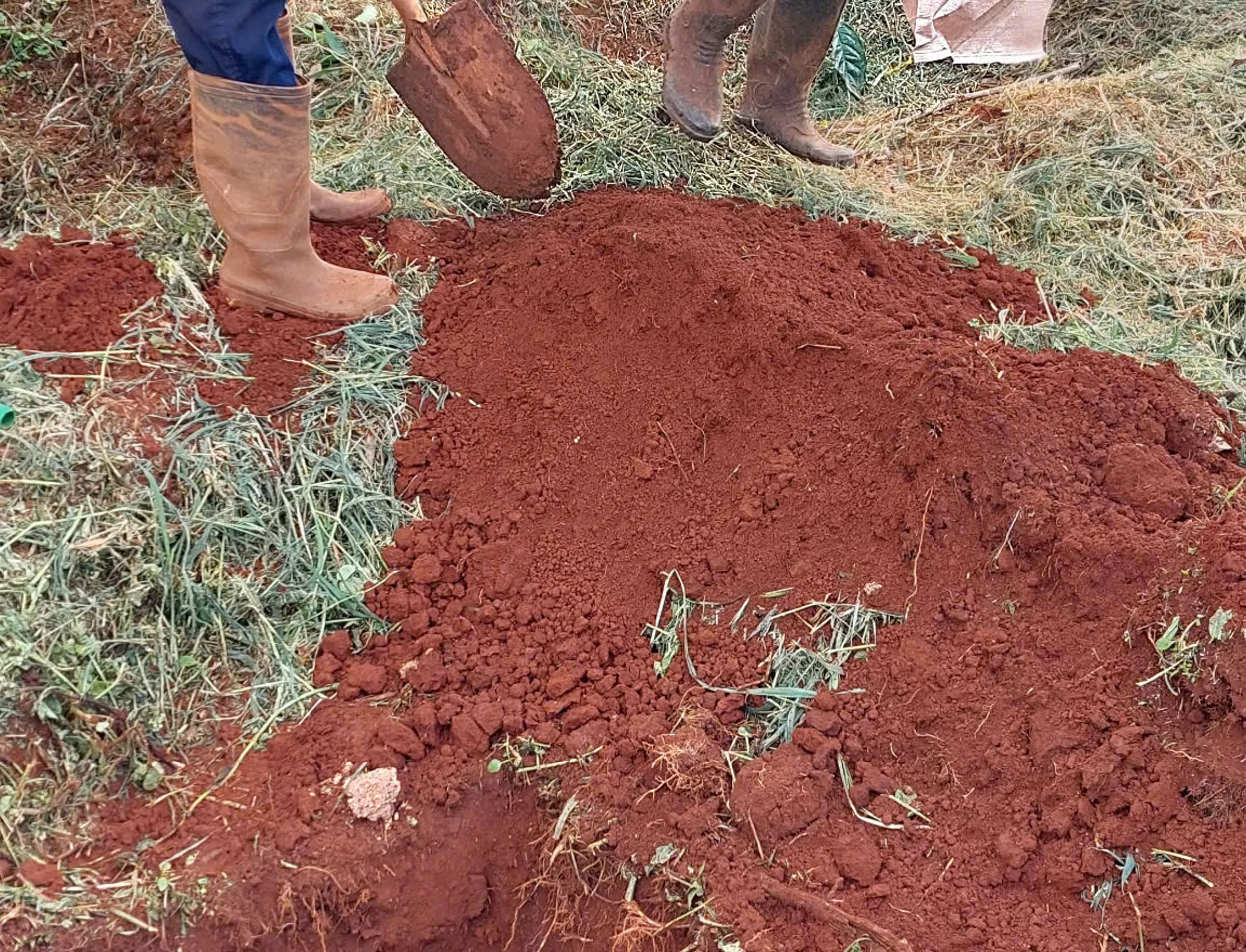
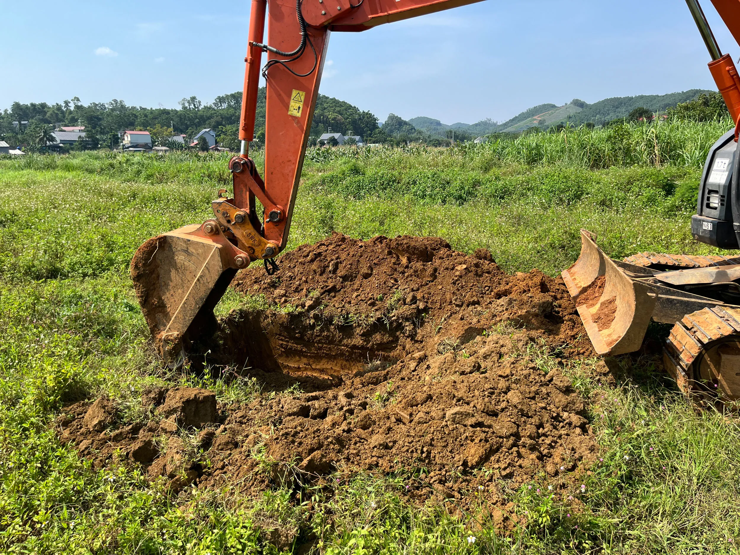
The seven research sites were established as a connected material network across Vietnam rather than a set of isolated sampling points. Spanning roughly from 21° to 10° latitude, they trace a north-south geographic arc through diverse climate zones, soil conditions, fiber sources, biopolymers, and cultural landscapes.
Each location was selected based on seven criteria: soil diversity across climate zones; links to current or future arb architects projects; ecological and geological value; cultural significance; potential for earthen construction; sufficient soil reserves for pilot production; and local accessibility for fieldwork and collaboration. Together, the sites offer a range of ecological and geological conditions, proximity to culturally significant communities, and the presence of networks that can support long-term fieldwork, sampling, and collaboration.




About the Project
Developed through MM Lab in partnership with arb architects, and supported by the Experimental Fellowship with Bauhaus Earth, the project brings together material research, ecological documentation, and cultural knowledge into a single publicly accessible platform.




Learn more
Living Research
The Vietnam Soil Atlas is a publicly accessible platform that documents soil types, ecological conditions, cultural and vernacular material knowledge across seven ecological zones in Vietnam. Developed through fieldwork, material testing, and collaboration with local artisans and experts, it connects technical data with cultural and ecological narratives to support regenerative earthen construction and culturally grounded design practices in Vietnam.
Contact E-Mail